By Myra Lee Adams Goff
Next Saturday, March 28th at 11:00 a.m. a rededication of an historical marker will take place at the Canyon Dam Overlook. All are invited to view this beautiful view of the lake and dam. This site which was originally honored in 1968 with a Texas Historical Commission marker was vandalized and the marker removed some time ago. It has been replaced. Words on the new marker read:
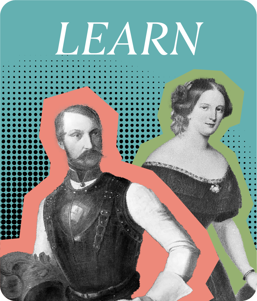
IN THIS AREA, NOW COVERED BY CANYON LAKE, GERMAN EMIGRANTS WERE THE FIRST SETTLERS. A SOCIETY OF NOBLES (MAINZER ADELSVEREIN) SPONSORED THE EMIGRATION OF 7,380 GERMANS TO TEXAS FROM 1844 to 1847. THEY FOUNDED NEW BRAUNFELS IN 1845. MOVING WEST, THEY ESTABLISHED FREDERICKSBURG IN 1846. THEIR COMANCHE INDIAN TREATY OPENED 3,800,000 ACRES BETWEEN THE LLANO AND COLORADO RIVERS TO PEACEFUL SETTLEMENT. FARMERS AND ARTISANS, SCHOLARS AND SCIENTISTS, THEY TRIUMPHED OVER EPIDEMIC AND PRIVATION TO HELP BUILD TEXAS AND THE WEST.
Sponsoring the marker are the German American Society of New Braunfels, Helgard Suhr-Hollis, John and Cindy Coers, the Canyon Lake Rotary Club, the Canyon Lake Noon Lions Club, the U.S. Army Corps of Engineers/GBRA, the Comal County Historical Commission and the Texas Historical Commission. Installation of the new marker was provided by Don and Jean Koepp, Bob Warnecke, and John and Karin Brooks with Danny Zunker of Brooks Stone Ranch. The marker is mounted on a 2,000 pound limestone rock from the area.
It is appropriate to honor the German Pioneers in Texas at this site. Canyon Lake, filled by the Guadalupe River, was the settling place of so many.
The idea of constructing this dam to minimize flooding and conserve water goes as far back as 1929 when the idea arose. After a survey in 1935, plans were authorized and construction began in 1958. In 1964, the gates were closed and the lake began to fill. The water reached its conservation level of 909 ft. (ideal) above sea level in 1968.The flow of the upper Guadalupe, plus rainfall, constantly allows the Corps of Engineers and the GBRA to control the lake level. This is done by monitoring the amount of water flowing from the Guadalupe into the lake every day and the lake level. If the amount of water is too great, the amount released below the dam is increased and sent down to the lower Guadalupe River.
The spillway crest is 943 ft. At the dam’s outlet, a maximum release of water is 5,000 cubic feet per second.
The building of Canyon Dam and Lake has saved many lives and millions of dollars which would have been lost as a result of flooding. Flooding on the Guadalupe affects towns all the way to the Gulf of Mexico. When you drive out River Road next to the Guadalupe River, look up and you can see how high flood levels reached probably thousands of years ago.
The year 2002 saw the lake overflow the spillway for the first time in the history of the lake. With a recorded elevation of 950.32 feet, water went over the spillway in a very short time. This overflowing of the spillway, created the Canyon Lake Gorge. It has become a “true Hill Country treasure” unearthing fossils, 110 million years old, crustaceous limestone formations, dinosaur footprints, springs, channels, and waterfalls. For a small price and a reservation for a tour, the three-hour walk is available at canyongorge.org.
With the first flood above the dam in 1978, the lake reached 930.60 ft. Another 20 feet and it would have been over the spillway. Another flood in 1987, the lake reached 942.67 feet and another in 1991 reached 937.77. In 1997 an elevation of 937.60 feet was attained. The 2002 level was the flood of record.
When the lake level is under the conservation level, the gates below the dam are adjusted, waiting for rain on the upper Guadalupe to flow into the lake. The lowest the lake has been was 892.70 in 2009. This, of course was the result of the drought.
In 2011, I wrote an article for the Sophienburg column printed in this newspaper called
“So, what exactly is under Canyon Lake?” I think some of the information bears repeating:
Imagine the Canyon Lake area with no lake. What would it have been like? Ranchland, farmland, trees, cemeteries, the Guadalupe River and the site of two very small communities, Hancock and Cranes Mill. These two communities would eventually be under the lake.
Hancock was named after John Hancock, who in 1851, was granted land on the north bank of the Guadalupe River. Although a thriving little community, the population of Hancock had dwindled to 10 in 1940.
The community of Cranes Mill was the other community that is under water. James Crain established a cypress shingle mill along the Guadalupe River in 1850. Crain changed the spelling of his name to Crane in the Civil War. No one knows why, but it’s been Cranes Mill ever since.
Where there are communities, there are cemeteries. The U.S. Army Corps of Engineers in 1958 was responsible for the re-interment of approximately 89 bodies from 16 cemeteries along the Guadalupe that would be under water. These remains were moved to various other cemeteries like Comal Cemetery, Fischer Cemetery, Mt. Sharp Cemetery, Twin Sisters Cemetery, and some smaller family cemeteries. Each plot was researched and next of kin contacted in order to get permission as to where the remains would be moved. Many opted to not have the remains removed, which was their choice.
Two years ago John and Cindy Coers, who are members of the Comal County Historical Commission, decided to trace the re-interment of John’s great- great- grandparents, Heinrich and Karoline Startz Coers. What they found out was not only where the Coers lived, but where they were buried. Their bodies were re-interred to the Fischer Cemetery.
Heinrich Coers emigrated from Germany in 1846 and settled in the Guadalupe River Valley. He and his wife were buried on the Coers property along the Guadalupe River. John Coers was able to locate photographs of the original interment sites along with headstones for both Heinrich and Karoline. She died in 1864 and her tombstone was destroyed. The family decided to leave her stone, but move the body. The tombstone is now under the lake. Heinrich’s stone was in good condition and it was moved intact to the Fischer cemetery. A beautiful inscription on the tombstone in German, here translated in English, reads:
You have quietly carried your burden through the Pilgrim’s Valley. Christ was your life and dying your gain.
The Coers have partnered with the U.S. Army Corps of Engineers and have scanned all of the re-interment documents. They will be soon available for research purposes at the Sophienburg Museum and Archives.
“Rest in Peace” seems quite appropriate.